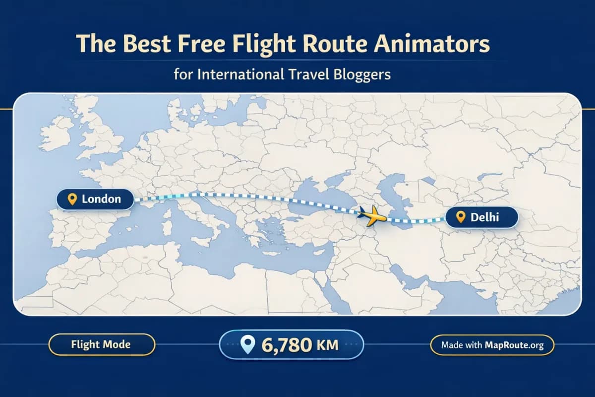
Why flight route animations matter for travel blogs
Free flight route animators let international travel bloggers turn a city pair into a moving map without buying a motion-graphics suite. Five tools that actually exist for this job are Map Route, Google Earth Studio, Mapimator, AvoMap, and Anim8map. Only some of them are built as a simple “Delhi to London” clip; others are Earth cameras or map studios.
This article names those five, then walks through Map Route’s air-corridor workflow for routes like Delhi to London or Tokyo to Sydney. Map Route is free in the browser with a generate/download quota; competitor free tiers should be checked on each product’s own site rather than guessed.
Five flight route animators travel bloggers actually use
“Free” here means you can start without buying Adobe After Effects. Each product still has its own account rules, watermarks, and quotas. Do not copy a Map Route limit onto another tool.
- Map Route — Estimated air corridor (great-circle) between two places in the browser, plus road, rail, and geodesic modes. Not a live flight tracker. Full steps below.
- Google Earth Studio — Cinematic camera over Google Earth in a desktop browser. Strong for globe-scale flight-style shots; not a labeled km-tracker journey. Confirm access on Google’s site.
- Mapimator — Browser map studio that publicly advertises flight-path style animations and video export. Verify current free plan and watermark yourself.
- AvoMap — Browser route videos; public materials mention flight-style segments and GPX/KML. Confirm whether a given city pair can be drawn as a flight without inventing a timetable.
- Anim8map — Web travel map videos with transport-style icons, including plane-style routes in public descriptions. Check the live tool before relying on a specific look or export.
FlightAware, Flightradar24, and similar live trackers show real aircraft. They are not “flight route animators” for a vlog intro. After Effects can animate a custom flight path, but it is paid desktop software, not a free blogger tool.
How Map Route works as a free flight route animator
Map Route is a browser-based travel map animation maker that’s especially useful when you want a clean, estimated flight path between two cities. It focuses on simplicity: you open the site, set your two endpoints, choose a visualization mode, and generate an animation you can later download and edit into your content.
- Open maproute.org in a modern browser: There’s no app to install and no desktop plugin. Just visit the site on Chrome, Safari, or another up-to-date browser on your laptop or phone.
- Search your departure city: In the From field, start typing at least two characters (for example, “Delhi”). Map Route uses public geocoders to suggest cities, regions, and countries, each with a label and context so you can pick the right one.
- Search your arrival city: In the To field, type your destination (for example, “London” or “Sydney”) and choose the correct result from the suggestions list.
- Choose “Air corridor” mode: For flight-style visuals, pick the Air corridor mode. Map Route will draw an estimated great-circle line between your two places. This isn’t a filed flight plan or proof that airlines operate that exact city pair; it’s a visual estimate for storytelling.
- Generate the journey: Click Generate Journey. Behind the scenes, Map Route resolves the places, requests geometry, frames the map, and prepares the journey. If geometry is ready quickly, some prep stages will be almost instant.
- Preview and adjust playback speed: Use the player controls to Play, Pause, Replay, and switch between 1x, 2x, or 4x speed. The base duration at 1x is tied to distance, typically around 8–28 seconds, so your Delhi–London or Tokyo–Sydney clip will usually fit nicely into short-form formats.
- Set your aspect ratio by window size: On phones or a narrow desktop window (under 768px wide), the animation appears in 9:16, ideal for TikTok, Reels, Shorts, and Stories. On wider windows (768px and above), the player is 16:9, which suits YouTube intros and landscape vlog segments. There is no manual aspect ratio picker; it follows the window.
- Create an account if you want downloads: You can generate up to 3 journeys while logged out, but you won’t be able to download video or images. To export, register and verify your email. A verified free account gives you 5 combined uses per UTC day, where Generate Journey, Download Video, and Export Image each count as one use.
- Download your flight route video: After verification, use Download Video to capture the animation you just watched as a browser-based MP4 (H.264 where supported) or WebM. The download includes the km tracker and a “Made with MapRoute.org” watermark—there is no watermark-free export in the current product.
- Export a still image if needed: If you want a thumbnail or blog header, pause the animation at your preferred frame and use Export Image to save a WebP still with the current aspect ratio and the same watermark.
Map Route only animates between two endpoints at a time. There’s no multi-stop or multi-leg editor, so complex itineraries need one clip per leg, combined later in your own video editor.
Key Map Route features that help international travel bloggers
When you’re comparing free flight route animators, it helps to understand what Map Route actually does—and what it doesn’t. It’s designed to be a fast, focused tool that hands you a polished base clip, not a full editing suite.
Four visualization modes for different stories
Although you’ll likely use Air corridor for flights, Map Route offers four modes that can support different angles of your travel content:
- Air corridor: An estimated great-circle line between two places, perfect for international flight-style animations like Delhi to London or Tokyo to Sydney. It’s labeled as an air corridor estimate, not a real-time tracker or official route.
- Road: A road path from a routing engine, useful when you’re driving road trips or overland legs. It’s not a bus service or ticket.
- Rail: A railway alignment based on available railway geometry. It’s not proof that a passenger train runs that route, and very long hauls can fail if geometry can’t be computed.
- Geodesic: A straight-line distance on the globe. This is a purely geometric line, not a travel route, but it can be a minimalist visual for distance-focused content.
Automatic map framing and subtle 3D-style pitch
Map Route uses a MapLibre map with an OpenFreeMap / OpenStreetMap basemap and automatically frames your journey so it looks clean without manual camera work. Short hops are framed tightly, long hauls more widely, and date-line crossings are handled safely. Some distances get a slight pitch (around 22° under ~1800 km, about 8° under ~5000 km, and 0° for very short or very long routes), which adds a touch of depth without being a full 3D globe or custom camera system.
You can’t set custom camera paths, orbit moves, or keyframes in Map Route. If you need advanced camera work, you’d need to use other software and possibly rebuild the route there.
Distance tracker for context
Every animation includes a km tracker that reflects the length of the line Map Route computed. For air corridor mode, it shows an air corridor estimate in kilometers. This is not an airline’s published mileage, ticket distance, or flight time—it’s a visual storytelling aid that helps your audience grasp the scale of your journey.
Browser-first, creator-friendly workflow
Because Map Route runs in your browser, you can generate and preview routes on both desktop and mobile. The recommended creator workflow is to:
- Generate and download your two-point journey in Map Route.
- Bring the MP4/WebM clip into your own video editor (Premiere Pro, Final Cut, CapCut, VN, DaVinci Resolve, etc.).
- Add titles, voiceover, B-roll, transitions, and music there.
- Match beats and audio sync in your editor—Map Route doesn’t do beat-sync or audio upload.
Example flight animations: Delhi–London and Tokyo–Sydney
To make this concrete, here’s how you might use Map Route to animate two classic international routes you might feature on your travel blog or channel.
Delhi to London by air corridor
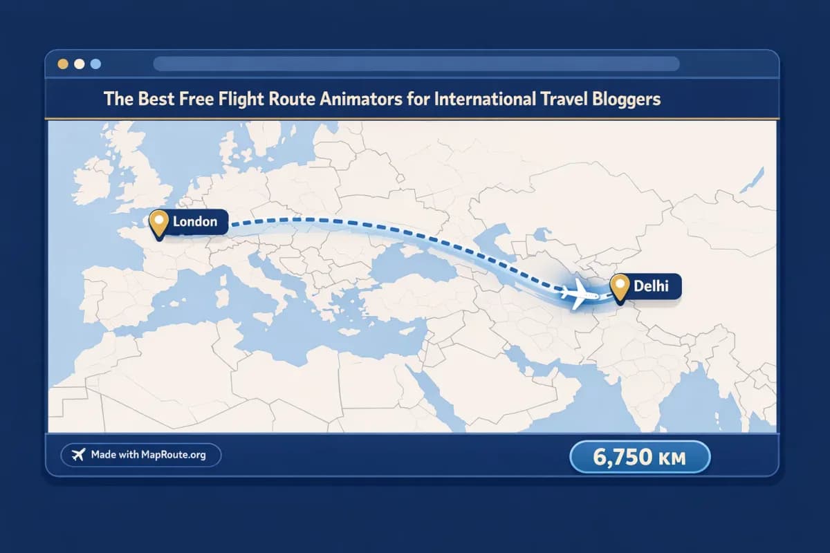
For a Delhi-to-London vlog, you can open Map Route, set From to Delhi and To to London, then choose Air corridor and Generate Journey. The tool will compute an estimated great-circle line between the two cities and animate a marker along that path, with an air corridor estimate in kilometers. This gives you a clean, high-level visual of your long-haul flight for your intro or a mid-video chapter break.
- Use a narrow browser window or your phone if you want a vertical 9:16 clip for Instagram Reels or TikTok.
- Use a wide browser window on desktop if you’re preparing a 16:9 clip for a YouTube vlog.
- Download the video (after verifying your account) and add overlays such as “Day 1: Delhi to London” and timestamps in your editor.
Tokyo to Sydney by air corridor
For a Tokyo-to-Sydney series, repeat the same steps: From Tokyo, To Sydney, Air corridor mode, Generate Journey. Again, you get an estimated air corridor path with a moving marker and km tracker. This works well as a recurring visual motif if your series hops between Asia and Oceania—you can keep the style consistent across episodes.
- Cut the Map Route clip together with airport B-roll to show boarding, takeoff, and landing.
- Overlay flight duration text in your editor if you want, but remember the Map Route distance is an estimate of the path length, not a schedule or ticket.
- Export a still image from Map Route as a WebP and convert it if needed for your blog header or thumbnail.
Map Route is not a booking engine, timetable, or proof that airlines operate a specific route. It only visualizes geography between two places based on public map data.
Using flight route animations on TikTok, Reels, and Shorts
Short-form platforms are where animated flight routes shine, because they quickly orient viewers who have just scrolled into your content. With Map Route, the main trick is to control your browser window width so you get the right aspect ratio for each platform.
- TikTok and Instagram Reels: Generate your route on a phone or a narrow desktop window (under 768px wide). Map Route will render the player at 9:16, which fits vertical formats without extra cropping.
- YouTube Shorts: Use the same 9:16 setup as TikTok/Reels. The typical 8–28 second Map Route duration at 1x speed already matches the short-form sweet spot; you can always trim in your editor.
- Instagram Stories: A vertical Map Route clip works well as a standalone Story or as a teaser that drives people to a longer vlog.
Because Map Route doesn’t add music or handle audio sync, you’ll usually import the downloaded clip into your platform’s native editor or your own app, then add trending sounds, captions, and stickers there. If you prefer tighter pacing, you can either increase playback to 2x or 4x before downloading, or speed up the clip later in your editor.
Integrating flight route animations into long-form vlogs
For YouTube travel vlogs, route animations help structure your narrative: they mark chapter breaks, transitions between countries, or the start of a new series. Map Route gives you the geography; your video editor provides everything else.
- Open Map Route in a wide desktop browser window to get a 16:9 player for landscape videos.
- Generate each major leg of your trip separately (for example, Delhi → London, London → New York, Tokyo → Sydney). There’s no multi-stop editor, so you’ll stitch clips together yourself.
- Download each clip after verifying your account, then drop them into your editing timeline at key transition points.
- Add voiceover explaining why you chose this route, what the layovers were like, or any challenges you faced.
- Overlay titles and lower thirds in your editor; Map Route doesn’t add text, logos, or transitions.
If you want your Map Route clip to match a specific beat or lyric in your soundtrack, adjust timing in your video editor. Map Route offers fixed playback speeds (1x, 2x, 4x) but no built-in beat-sync.
Map Route vs other flight route animation options
Here is the same five-tool set side by side. Cost and export rules for competitors are not guessed.
| Tool | Setup & access | Best for | What to verify |
|---|---|---|---|
| Map Route | Browser, no install; register to download | Two-point estimated air corridor with km tracker | Free with daily generate/download limits; watermark on exports |
| Google Earth Studio | Desktop browser; Google account typically required | Cinematic Earth flyovers | Access and export options are set by Google — check the current page |
| Mapimator | Browser map studio | Custom map routes and video export | Free/paid split should be read on mapimator.com, not assumed |
| AvoMap | Browser | Drawn or GPX routes, including flight-style segments in product copy | Confirm render quality and any paid features on avomap.com |
| Anim8map | Browser | Pinned travel map videos with transport icons | Confirm watermark and limits on the live site |
Map Route sits in a sweet spot for international travel bloggers who care about geographic accuracy and clean visuals but don’t want to spend hours keyframing cameras. It doesn’t replace a full editor or 3D toolkit, but it dramatically shortens the “show the route” part of your workflow.
Pre-flight checklist for your next route animation
Before you generate your flight route
- Decide your aspect ratio: vertical (phone or narrow window) for Shorts/Reels/TikTok, or horizontal (wide window) for YouTube and blogs.
- Confirm your two endpoints are cities, regions, or countries that geocoders can resolve (for example, “Delhi” and “London” rather than obscure codes).
- Choose the right visualization mode: Air corridor for flights, Road or Rail for overland segments, Geodesic for minimalist distance visuals.
- Plan your narrative: where in your video or blog will this animation appear—intro, transition, or recap?
- Register and verify your Map Route account if you need to download video or still images.
- Check your daily usage budget: remember that Generate Journey, Download Video, and Export Image each count toward your 5 daily uses on a verified free account.
- Have your editing app ready so you can immediately drop the downloaded clip into your project and add music, voiceover, and titles.
- Accept the watermark: all Map Route downloads include a “Made with MapRoute.org” watermark, so plan your layout and overlays accordingly.
FAQ
Is Map Route really free to use for flight route animations?
Yes. Map Route is free to use in your browser. Logged-out visitors can generate up to 3 journeys but cannot download videos or images. If you register and verify your email, you get 5 combined uses per UTC day (Generate Journey, Download Video, and Export Image each count as one use). There is no self-serve checkout; paid plans exist only as a manual upgrade if you contact the team from your account page.
Can Map Route animate multi-stop international trips in one go?
No. Map Route only supports journeys between exactly two endpoints per generate—one From and one To. There is no multi-stop waypoint editor and you cannot combine plane, train, and road into a single Map Route file. For multi-leg trips, you generate each pair separately (for example, Delhi → London, London → New York) and then combine the resulting clips in your own video editor.
Does Map Route show real airline routes or live flights?
No. In Air corridor mode, Map Route draws an estimated great-circle line between your chosen places. It is not a filed flight plan, not a real-time flight tracker, and not proof that any airline operates that specific route. It’s a visual tool for storytelling about geography and distance, not a booking, timetable, or ticket service.
What devices and browsers can I use with Map Route?
Map Route works in modern browsers, including Chrome and Safari, on both desktop and mobile devices. You can search places, generate journeys, and play, pause, or replay animations on phones and computers. Image and video downloads require a registered, verified account. Because exports are browser captures, video download can occasionally fail in some browsers; if that happens, the player still works and shows a notice.
What export formats and aspect ratios does Map Route provide?
Map Route exports video as a browser capture of the animation you watched, including the km tracker. When your browser supports it, downloads are MP4 (H.264); otherwise, they fall back to WebM. Export Image saves a WebP still of the current frame. There is no manual aspect ratio picker: if your window is under 768px wide, the player and exports are 9:16; at 768px and above, they are 16:9. All downloads include a “Made with MapRoute.org” watermark—there is no watermark-free export option at this time.
Can I add music, voiceover, or text directly in Map Route?
No. Map Route is not a full video editor. It doesn’t support audio upload, beat-sync, titles, voiceover, B-roll, or cuts. You choose your two places, pick a mode, generate the animation, and optionally download it. To add music, narration, or text overlays, you bring the downloaded clip into your own editing software or the native editors on platforms like TikTok, Instagram, or YouTube.
Does Map Route guarantee worldwide coverage for my routes?
No. Map Route relies on public geocoders (Photon with Nominatim fallback) to resolve cities, regions, and countries, and on public routing/geometry sources for lines. Many places worldwide will work, but coverage is not guaranteed for every village or every code. For road and rail, geometry can sometimes fail; in those cases, Map Route offers a geodesic line instead. Air corridor and geodesic modes are generally more robust because they don’t depend on detailed road or rail networks.