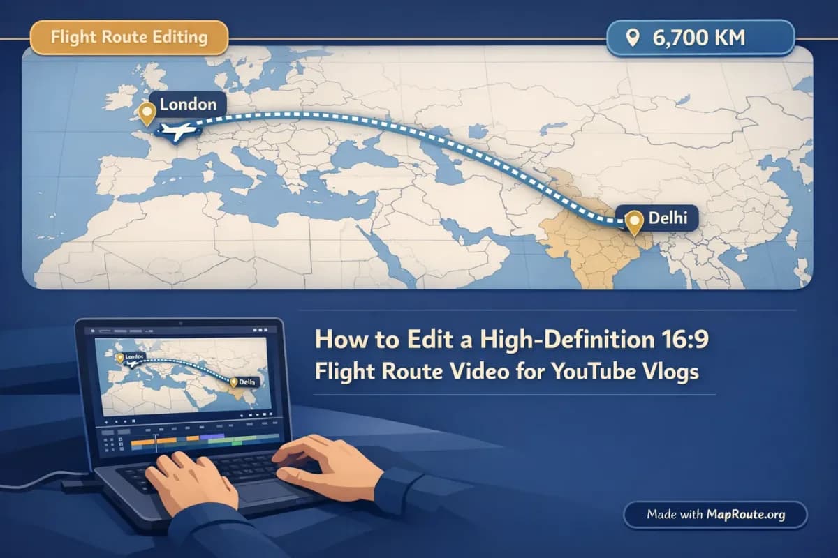
How to Edit a High-Definition 16:9 Flight Route Video for YouTube Vlogs
You can make a clean 16:9 flight route clip for YouTube by generating the map animation in your browser, then editing it in your usual video editor. Map Route focuses on the map animation itself, while your editing software handles titles, music, and the rest of the vlog.
This guide walks through a practical creator workflow: generating a 16:9 flight route animation (for example, Delhi to London or Tokyo to Sydney by air corridor) on Map Route, downloading the clip, and then shaping it into a polished sequence inside tools like Premiere Pro, Final Cut, CapCut, or DaVinci Resolve. We’ll also cover what Map Route can and cannot do, how aspect ratio really works, and how to keep your final video looking sharp on YouTube.
Map Route is not a full video editor or a 3D globe tool. It creates a two-point travel map animation in your browser, which you then refine in your own editing software.
Step-by-step: from map animation to YouTube-ready clip
1. Open Map Route in a desktop browser for 16:9
Map Route is browser-based, so there’s no app or plugin to install. For a YouTube-friendly 16:9 layout, open maproute.org in a modern desktop browser (such as Chrome or Safari) and make sure the window is at least 768px wide. The player’s aspect ratio automatically follows the window width: wider windows use 16:9, while narrow windows and phones use 9:16 for vertical clips.
There is no aspect ratio picker in Map Route. If you want 16:9, work in a wide browser window or on desktop; for vertical Shorts/Reels, use a phone or narrow window.
2. Search your flight route (From and To)
On the Map Route homepage, type at least two characters for your origin and destination. You can search cities, regions, or countries as long as the public geocoders (Photon with Nominatim fallback) return them.
- Example 1: From “Delhi, India” to “London, United Kingdom”
- Example 2: From “Tokyo, Japan” to “Sydney, Australia”
Pick the correct suggestion based on the label and context. Remember that Map Route is not a booking engine or a live flight tracker—it visualizes the geography between the two locations you select.
3. Choose the right visualization mode
For flight-style vlogs, you’ll usually want the Air corridor mode. It draws an estimated great-circle line between your two places, similar to how airlines show routes on in-flight maps. It is not a filed flight plan or proof that airlines operate that pair; it’s a geographic estimate.
- Road: uses a typical road path. Good for road trips, not for flights.
- Rail: follows railway alignment where data exists. Good for train journeys.
- Air corridor: estimated great-circle line, ideal for flight route visuals.
- Geodesic: straight line on the globe; useful when other geometry isn’t available.
4. Generate and preview the journey
Click “Generate Journey.” Map Route goes through prep stages—resolving places, requesting geometry, framing the map, and preparing the journey. Once ready, you’ll see a moving marker or vehicle icon traveling along the computed line, with a km tracker showing the estimated distance label (for example, “air corridor estimate km”).
Use the player controls to review the animation:
- Play, Pause, Replay to check timing and framing.
- Speed options: 1x, 2x, 4x. 1x typically gives you around 8–28 seconds depending on distance (roughly 6 + distanceKm/400, within that clamp).
You can’t set custom camera paths, add keyframes, or change map pitch manually. Framing and slight pitch are automatic and depend on distance.
5. Register to download the video
To export the animation as a video, you’ll need a verified free account. Logged-out visitors can generate up to 3 journeys but cannot download images or videos.
- Create an account with a non-disposable email.
- Verify your email (unverified accounts can’t log in or generate).
- Log in and generate your journey again if needed.
With a verified free account, you get 5 combined uses per UTC day. Each Generate Journey, Download Video, or Export Image counts as one use, and the count resets the next UTC day.
6. Download the 16:9 flight route clip
When you’re satisfied with the preview, use the Download Video option. Map Route captures what you see in the player directly in your browser, including the km tracker and the current aspect ratio (16:9 if your window is wide enough).
The download format depends on your browser’s capabilities:
- MP4 (H.264) when your browser supports it, or
- WebM otherwise.
This is a browser capture, not a guaranteed server-rendered HD export. Capture can fail in some browsers; if it does, the player still works and will show a notice.
All downloads include a “Made with MapRoute.org” watermark. There is no watermark-free export in the current product, so plan your layout and framing with that in mind.
7. Edit the clip in your video editor
Finally, import the downloaded clip into your editing software. This is where you’ll add everything that Map Route does not provide: titles, transitions, music, voiceover, B-roll, and pacing that fits your vlog.
What Map Route actually gives you for YouTube vlogs
For YouTube creators, Map Route’s value is in giving you a clean, consistent map animation fast, without needing motion graphics skills. Understanding what it does—and doesn’t do—helps you design your edit around it.
Automatic 16:9 framing for desktop workflows
On desktop or any browser window 768px wide or more, Map Route frames the journey in a 16:9 player, which fits directly into standard YouTube timelines. You don’t have to choose presets or crop manually; the map view is already landscape. For vertical formats like Shorts or Reels, you’d instead use a narrower window or your phone to get 9:16.
Four visualization modes for different stories
While this article focuses on flight routes using the Air corridor mode, you can match the visual to your story:
- Road: road path km — for road trip vlogs, bus-like journeys (though Map Route is not a bus timetable or ticket).
- Rail: railway geometry km — for train journeys, as long as the rail geometry can be found.
- Air corridor: air corridor estimate km — for flights like Delhi to London or Tokyo to Sydney.
- Geodesic: geodesic km — for straight-line distance visuals or as a fallback when road/rail fail.
Map Route can’t combine modes in a single file. If your vlog covers plane + train + road, generate each leg separately and stitch the clips together in your editor.
Simple controls and speed options
You don’t control every frame, but you do get reliable, repeatable motion. The marker icon moves along the computed line at a duration tied to distance, and you can adjust the playback speed between 1x, 2x, and 4x. For most vlog intros, 1x is enough; if you want a snappier feel or need to match a shorter beat, you can switch to 2x or 4x or speed it up further in your editor.
Copyable journey links for consistent visuals
The Copy link feature stores the From, To, and mode, so you can regenerate the same journey later with the same geometry. This is useful if you want to re-record at a different speed, or if you’re building a series where you show the same route in multiple episodes.
Practical examples: Delhi–London and Tokyo–Sydney routes
To make this workflow concrete, here’s how you might build two common long-haul flight route segments: Delhi to London and Tokyo to Sydney by air corridor.
Delhi to London by air corridor
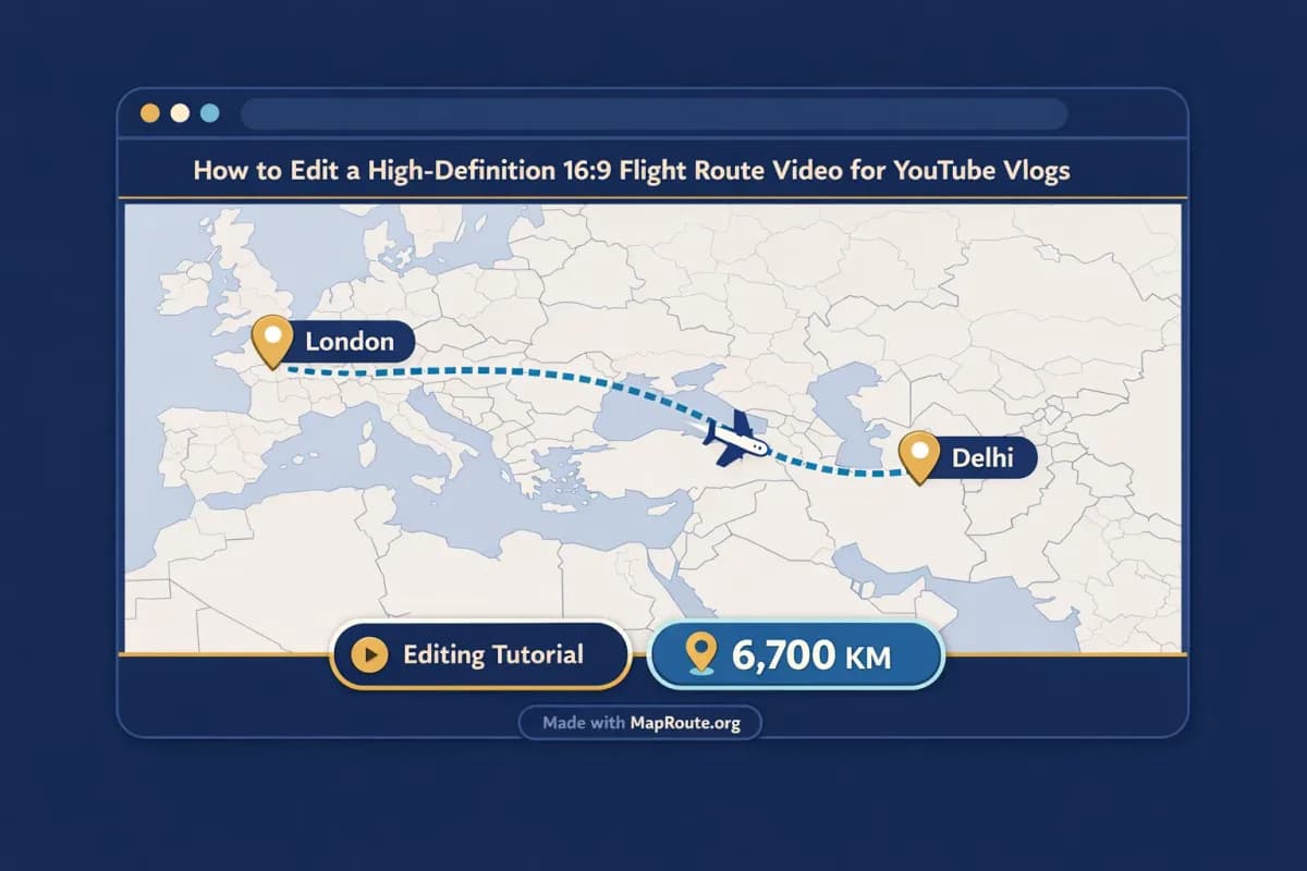
Imagine you’re opening a vlog titled “Moving from Delhi to London.” You want a quick map animation showing the journey before you cut into airport B-roll and your talking head.
- Open Map Route on desktop in a wide window so you get 16:9.
- Search From: “Delhi, India” and To: “London, United Kingdom.”
- Select Air corridor mode and click Generate Journey.
- Preview at 1x speed. For this distance, you’ll likely get a clip in the mid-range of the 8–28 second window.
- Download the video once you’re happy with the framing.
In your editor, place this clip right after your cold open. Add a simple text overlay like “Delhi → London” in your brand font, and let the km tracker remain visible to show the scale of the move. You can cut from the end of the animation straight into a shot of the plane window or the departure board.
Tokyo to Sydney by air corridor
For a Tokyo-to-Sydney vlog, you might be emphasizing a new region or a big seasonal change. The map helps orient viewers quickly.
- Search From: “Tokyo, Japan” and To: “Sydney, Australia.”
- Choose Air corridor, Generate Journey, and review the map framing.
- If you want a quicker, punchier feel, preview at 2x or 4x speed and plan to match a faster music section.
- Download the video with the 16:9 aspect and watermark.
In the edit, you could layer a soft whoosh sound as the marker moves, then cut to a montage of packing, airport transit, and arrival shots. Since Map Route doesn’t handle audio or beat-sync, you’ll do all timing tweaks inside your editor by trimming and adjusting clip speed.
Editing tips: turning a raw map into a polished vlog moment
Once you have the 16:9 flight route clip, the real storytelling work happens in your video editor. Map Route gives you the movement and geography; your edit gives it emotion and context.
Match clip length to your pacing
Most Map Route clips at 1x run somewhere in the 8–28 second range, depending on the distance. For vlog intros, 6–12 seconds often feels right. If the default feels long, you can either:
- Switch the player to 2x or 4x before downloading, or
- Speed up the clip in your editor (for example, 120–200%) and cut off the first or last few seconds.
Layer voiceover and B-roll around the route
Map Route does not provide audio upload, beat-sync, or voiceover tools. Plan your narration and music in your editor:
- Record a short voiceover explaining why this route matters (“After years in Delhi, I’m finally moving to London…”).
- Use the map clip as a visual bed under your narration.
- Cut away briefly to B-roll (packing, airport, city shots) and then back to the map to keep visual variety.
Work with the watermark instead of against it
Since there’s always a “Made with MapRoute.org” watermark on exports, treat it as part of your composition. Avoid placing your main titles or subtitles in the same area. If needed, you can design your own lower-third graphic on the opposite side to balance the frame.
Map Route vs traditional motion graphics tools
If you’ve tried building flight route animations in desktop software like Adobe After Effects or mobile apps, Map Route offers a different tradeoff: less control, much faster setup. Here’s how it compares at a high level.
| Tool | Setup & Learning Curve | Control Over Camera & Style | Export & Watermark | Best For |
|---|---|---|---|---|
| Map Route (browser-based) | No install; open in a modern browser and search From/To. Very quick to learn. | Automatic framing and simple speed control; no custom keyframes or 3D globe paths. | Browser capture as MP4/WebM with a required “Made with MapRoute.org” watermark. | Creators who want fast, consistent map animations to edit into vlogs. |
| Adobe After Effects (or similar desktop motion graphics) | Requires install, license, and significant learning time or templates. | Very high control: custom cameras, keyframes, 3D comps, detailed styling. | Full control over export settings and branding; no forced watermark. | Studios or advanced creators who need bespoke, highly branded sequences. |
| Mobile route-animation apps | Quick to start; app download required. Often template-based. | Moderate control; usually template or preset driven, limited fine-tuning. | Export options vary; some include app branding or require paid tiers. | On-the-go creators making simple route clips directly on a phone. |
For most YouTube vloggers, Map Route’s strength is speed and simplicity: you get a clean, geography-aware animation in minutes, then rely on your editor for everything else.
Creator checklist: clean 16:9 flight route clips every time
Before you generate
- Use a desktop browser and keep the window wide (768px+), so the player is 16:9.
- Confirm your From and To locations are correct (e.g., “Delhi, India” → “London, United Kingdom”).
- Decide which mode matches your story (Air corridor for flights, Road or Rail for land journeys).
- Log in with a verified Map Route account if you plan to download the video.
Before you download
- Preview the full animation at 1x, 2x, or 4x and decide which speed fits your pacing.
- Check that the map framing feels right and the km tracker label makes sense for your narrative.
- Make sure the browser window is still wide enough for 16:9 (don’t accidentally switch to a narrow, vertical layout).
- Remember that the export will include a “Made with MapRoute.org” watermark and plan your text overlays accordingly.
In your video editor
- Import the downloaded MP4 or WebM and place it on a 16:9 timeline.
- Trim or speed-adjust the clip to match your intro or music beat.
- Add titles, captions, and voiceover—these are not handled in Map Route.
- If you need multiple legs (e.g., Delhi → Dubai → London), generate each pair separately in Map Route and sequence the clips together.
FAQ
Can Map Route export a true HD 16:9 video for YouTube?
Map Route exports a browser capture of the animation you see in the player, in the aspect ratio of your window (16:9 on wide windows). The file is MP4 (H.264) when your browser supports it, or WebM otherwise. It is not a guaranteed server-rendered HD export, and capture can fail in some browsers, but in typical use it works well for YouTube vlogs.
How do I make sure my flight route video is 16:9 and not vertical?
Map Route does not have a manual aspect ratio picker. Instead, it follows your browser window: if the window is 768px wide or more (for example, on a desktop or a maximized laptop browser), the player uses 16:9. If you use a phone or a narrow window, it switches to 9:16 for vertical formats. For YouTube vlogs, generate and download your clip from a wide desktop window.
Does Map Route support multi-stop or connecting flights in one animation?
No. Each Map Route journey is exactly two endpoints: a single From and To. There is no multi-stop waypoint editor and you cannot combine plane + train + road in one Map Route file. For connecting flights or multi-leg trips, generate each pair separately (for example, Delhi → Dubai, then Dubai → London) and stitch the clips together in your video editor.
Is there a watermark on Map Route exports?
Yes. All Map Route downloads—both videos and still images—include a “Made with MapRoute.org” watermark. There is currently no watermark-free export option. If you’re designing a YouTube layout, avoid placing crucial text or graphics where the watermark appears.
Can I add music, voiceover, or sync the animation to a beat inside Map Route?
No. Map Route is not a full video editor and does not offer audio upload, music libraries, beat-sync, or voiceover tools. Playback speeds are limited to 1x, 2x, and 4x. The recommended workflow is to download the map clip from Map Route and then add music, voiceover, and timing adjustments in your own editing software.
What devices and browsers can I use with Map Route?
Map Route is a browser-based tool that works in modern browsers, including Chrome and Safari, in typical use. You can use it on both phones and desktop computers. Place search, generating journeys, and player controls work on both. Image and video downloads require a registered, email-verified account, and exports are captured in your browser, so results can vary between browsers.
Is Map Route free to use for YouTube creators?
Yes. Map Route is free to use and there is no self-serve checkout. Logged-out visitors can generate up to 3 journeys but cannot download. With a verified free account, you can generate journeys, download videos, and export images, with a combined limit of 5 uses per UTC day that resets daily. Paid plans exist only as a manual upgrade by contacting the team from your account page.
Does Map Route guarantee coverage for any city pair I want to show?
No. Map Route relies on public geocoders (Photon with Nominatim fallback) for place search and on routing/geometry services for lines. You can usually search cities, regions, and countries worldwide as long as those services return results, but coverage is not guaranteed for every village, airport code, or rail line. If road or rail geometry cannot be computed, Map Route will offer a geodesic line instead.